
One-to-one elevation mapping
Grey level maps linearly to Z, so a heightmap exported from QGIS, Blender, or World Machine reproduces its terrain profile without guesswork.
HEIGHTMAP TO STL
Turn a greyscale elevation map into a printable terrain tile. Set vertical scale in millimetres and get a watertight solid with a flat, sealed base.
Upload once and a printable relief STL starts building in this browser. Best for logos, portraits, terrain, signs, and lithophanes.
A heightmap is already the exact data structure this converter uses internally, which makes it the most direct input available: each grey value is an elevation and no interpretation is needed. The presets here reflect that. Vertical relief starts at 12mm rather than 5mm because terrain needs exaggeration to read, base thickness is raised so a large tile stays rigid, and detail defaults to Fine so ridge lines survive.
HEIGHTMAP TO STL
Drag in a PNG, JPG, or WebP, paste from the clipboard, or start from a built-in sample.
Type the width, height, relief depth, and base thickness in millimetres and watch the mesh rebuild live.
Read the open-edge and manifold report, then export a binary STL straight into your slicer.
Grey level maps linearly to Z, so a heightmap exported from QGIS, Blender, or World Machine reproduces its terrain profile without guesswork.
Real terrain is almost flat at print scale. Relief height sets the exaggeration directly in millimetres so neighbouring tiles stay consistent.
Each tile is closed with a flat floor and vertical side walls at the exact width and height you specify, so adjacent tiles butt together cleanly.
Every slider rebuilds the real mesh in a worker thread. What you orbit is the file you download.
Width, height, relief depth, and base thickness are typed in real units, so the plate fits your bed the first time.
Open edges, non-manifold edges, degenerate faces, triangle count, volume, and bed contact are all reported.
Relief, lithophane, viewer, and converter work never leaves the browser. Only AI generation uploads anything.
Export binary STL, GLB, glTF, OBJ, or PLY, and convert between them without installing a modelling suite.
Unlimited local conversion with no watermark, no daily cap, and no account. Credits apply only to AI generation.
Relief mode extrudes brightness into height. AI mode reconstructs a full closed volume.
| Relief / Lithophane | AI 3D Object | |
|---|---|---|
| Best input | Logos, line art, portraits, terrain, height maps | Product shots, characters, props, toys |
| Output shape | Raised plate with a flat back | Closed volume with a real back and sides |
| Typical wait | Under 3 seconds | 40 seconds to 4 minutes |
| Where it runs | This browser only | Uploaded to the model provider |
| Cost | Free and unlimited | From 8 credits per model |
Four builds produced with the presets on this page, exported as printed.
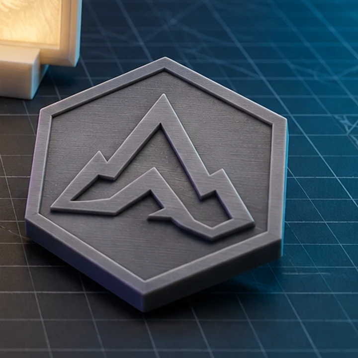
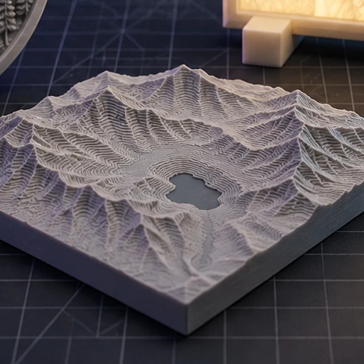
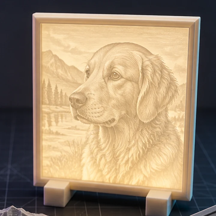
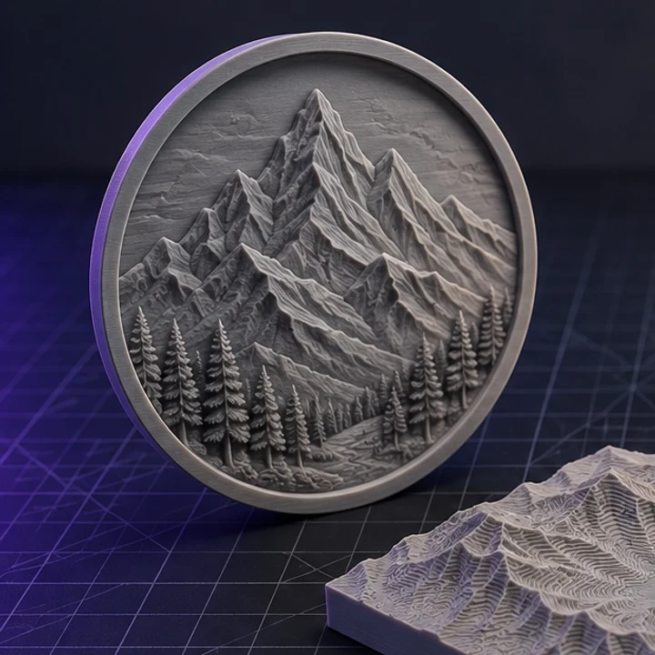
Any 8-bit or 16-bit greyscale PNG, JPG, or WebP. Export your DEM as a greyscale image from GIS software first. Black is the lowest elevation and white the highest, which is the standard convention.
Work out the real elevation range your greyscale covers, then set relief height to that range divided by your horizontal scale factor. If you want honest 1:1 proportions, that number is usually under a millimetre, which is why most terrain prints exaggerate deliberately.
An 8-bit heightmap has only 256 elevation steps. Spread over 12mm of relief that is a visible 0.05mm step per level, which can band on smooth slopes. Use a 16-bit source, or add one step of smoothing to blend the transitions.
Yes. Crop your heightmap into sections, then convert each with identical width, height, relief, and base settings. Because dimensions are absolute millimetres rather than normalised, the tiles line up.
Fine sampling on a square heightmap typically produces a few hundred thousand triangles. Binary STL keeps that to a manageable file size, and the print check reports the exact count before you export.
Jump straight to the converter tuned for your source file.
Relief and lithophane conversion is free, unlimited, and runs entirely in this browser. AI reconstruction starts with one free trial model.